+7 (812) 328 9282 - Office, +7 (812) 328 9248 - Museum info@karpinskyinstitute.ru
Russian Geological Research Institute
Currently, experts from the Karpinsky Institute are working on a 3D model of the city’s underground space. A modern 3D geological base is necessary for planning the development of above-ground and underground infrastructure in any metropolis. St. Petersburg continues to expand highways, construct tunnels and interchanges, and other engineering structures at varying depths. Experience of large cities shows that the only correct way is to consider underground space for further development and planning of important urban infrastructure.
Director General of the Karpinsky Institute Pavel Khimchenko presented the results of the first stage of a 3D model constructing to the Governor of St. Petersburg, Alexander Beglov.
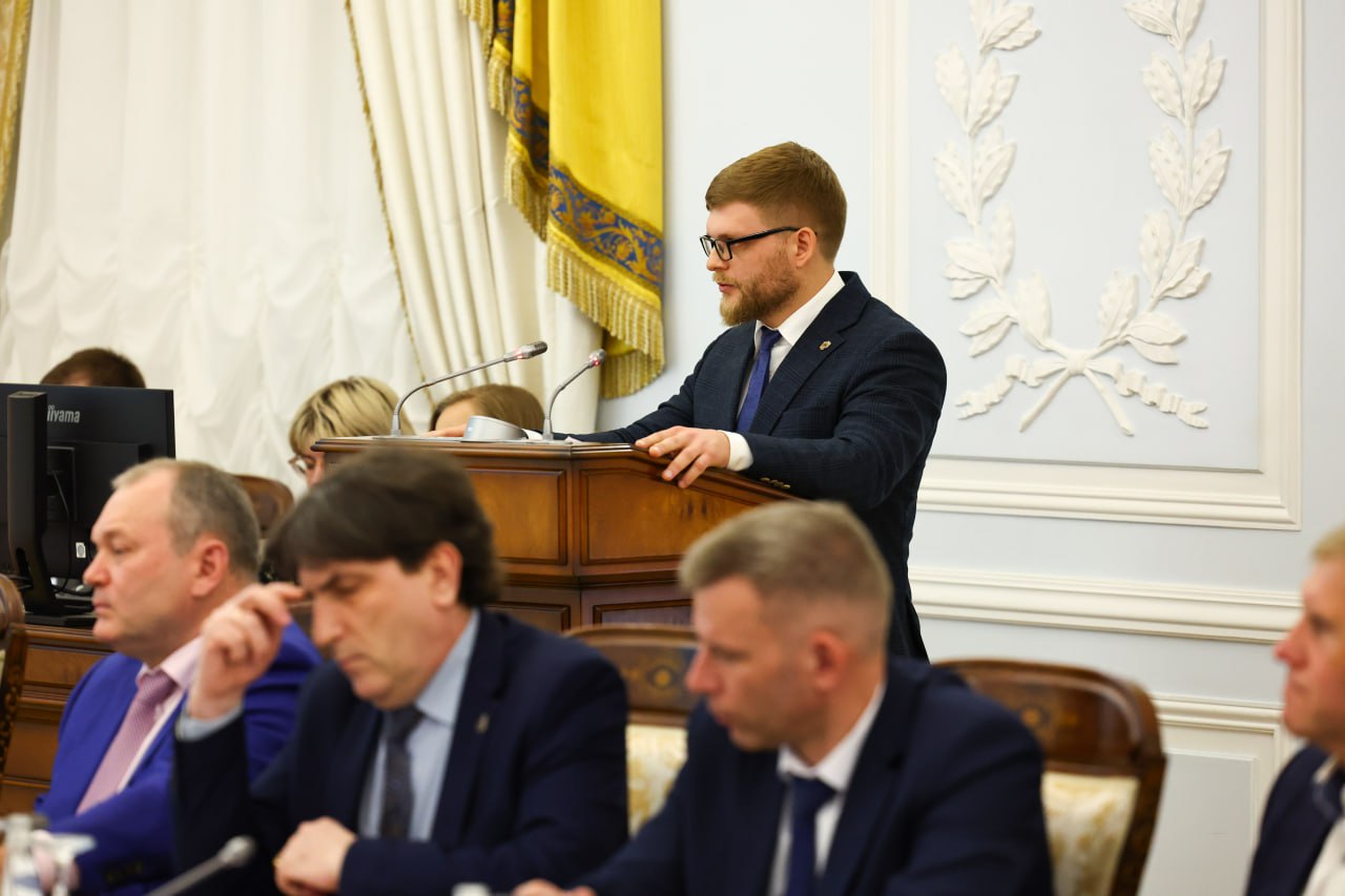
“The task of our institute is to change the space in the institute, district, city, country, and beyond. This is all our St. Petersburg, Leningrad school – the basis of Russian geology. The choice of topic today is not accidental – it is geologists who should develop a 3D model of the city’s underground space. This should be a great contribution of us, St. Petersburg geologists, to the development of our beloved city,” Pavel Khimchenko noted in his speech.
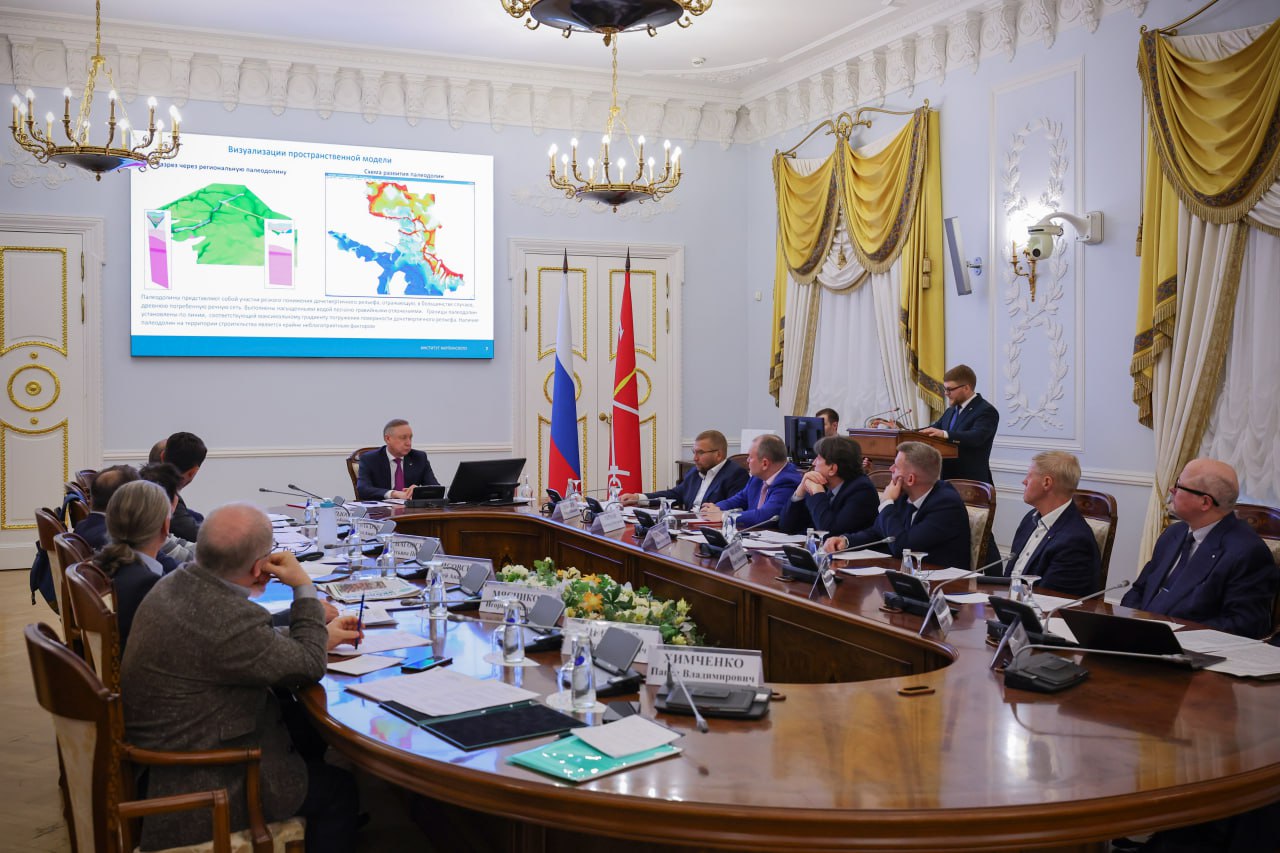
This project will make it possible to effectively plan the city’s above-ground and underground infrastructure and assess the geological risks during construction. Systematized geological data for planning and carrying out design and survey work can be obtained in digital form. The use of a 3D model will reduce the time required to obtain information related to mineral management.
The governor recalled that a planning project for the underground space development was prepared in Leningrad in 1979. This was one of the first such documents in the Soviet Union.
“The major thing that we managed to do is to preserve the materials. It is very important not to lose data; it is priceless for our city. Work with data on underground space should be carried out with the widest use of digital technologies,” noted Alexander Beglov.
Summarizing the meeting, the Governor supported the idea of developing a 3D geological model of the city and its integration into the city’s geographic information systems.

