+7 (812) 328 9282 - Office, +7 (812) 328 9248 - Museum info@karpinskyinstitute.ru
Russian Geological Research Institute
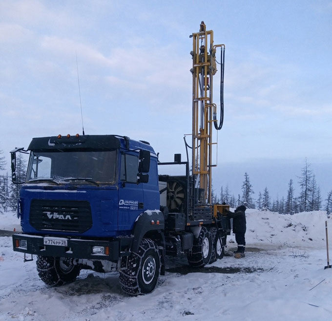
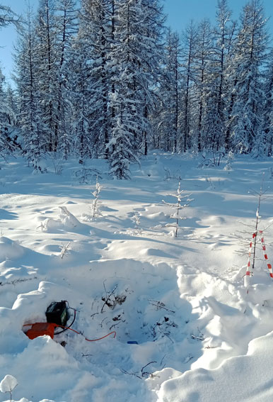
In early May, the field seismic exploration using the Deep Seismic Sounding (DSS) method was completed. The work was carried out during the winter field season from early January to early May on the Northern fragment of the geological and geophysical reference profile 4-SB (Ebelyakh settlement - Nordvik Bay of the Laptev Sea). OOO Severo-Zapad was the contractor for the Karpinsky Institute.
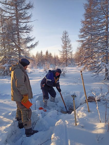
Alexander Lutov, the first-category geophysicist of the Department of Deep Geophysical Studies of our institute, took part in the work as a supervisor to monitor the quality of the field work and express processing of the obtained material.
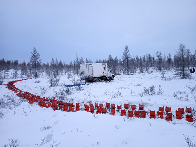
The work was carried out by means of Sibgeonet recording sets equipped with VF-SOLO-3c-5Hz three-component seismic receivers. The equipment was specially developed for the Karpinsky Institute.
In total, 500 linear kilometers of DSS seismic exploration were completed, including drilling boreholes, loading explosives into the boreholes, placement and collection of seismic receivers along the profile, blasting operations, profile observations, and reading seismic receiver data.
Seismic DSS observations are aimed at recording refracted and reflected waves from the crustal and Moho boundaries. DSS materials allow obtaining information about regional seismic boundaries (crystalline or folded basement surface, intracrustal global boundaries, the M-discontinuity) with the assessment of velocity parameters of these boundaries.
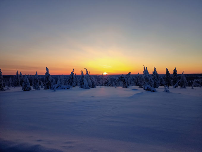
Field operations were complicated by the harsh climate in the north of Eastern Siberia and the lack of paved roads and winter roads. Sometimes the temperature was lower than 60 degrees below zero. More than 50% of the route was covered across bare, snow-covered tundra.
As a result of these field operations, unique materials were obtained, which will make it possible to estimate the crustal thickness and trace the main regional seismic boundaries within the northern part of the Siberian Platform and the Lena-Anabar Trough.