+7 (812) 328 9282 - Office, +7 (812) 328 9248 - Museum info@karpinskyinstitute.ru
Russian Geological Research Institute

The Baikal Natural Territory is a unique region in many respects. The exclusivity and significance of the lake's ecosystem from a global perspective is reflected in the UNESCO World Heritage Convention, which defines Lake Baikal as a Site of Outstanding Universal Value.
It is the only natural site in the Russian Federation, the protection status of which is fixed at the level of the Federal Law. A systematic approach to the study of this territory is provided by the Federal Project ‘Lake Baikal Conservation’, which is implemented within the framework of the National Project ‘Ecology’.
Let us cite just one fact out of many unique characteristics of this territory. Lake Baikal, the deepest and oldest lake on the planet, contains about 20% of the world's surface fresh water reserves.
Baikal is unique not only for its beauty, natural and water resources. Baikal is an amazing ‘living’ geological formation, with active modern tectonics and seismicity, which cannot be considered separately from the surrounding geological context and geodynamic position. Therefore, the area of priority state interests includes the vast region surrounding the lake with a total area of more than 380 thousand square kilometers - the Baikal Natural Territory.
Since the start of the National Project in 2015, on behalf of the Federal Agency for Mineral Resources, specialists from the Karpinsky Institute and Gidrospetsgeologiya (Hydrospecial Geology) have been carrying out large-scale research, including a comprehensive geological study and the creation of a permanent system of observations of the natural environment within the Baikal Natural Territory.
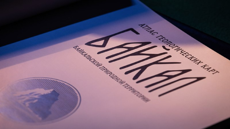
‘For 10 years, specialists of the Karpinsky Institute have been generalizing geological materials on the Siberian Platform and the Sayano-Baikal fold belt surrounding the lake, conducting thematic field work in the coastal zone and water area, as well as obtaining new interpretations of the deep structure of the Baikal rift zone. As a result of a huge meticulous work, which lasted about a year, all the results of the work for the past 10 years were systematized and summarized in the ‘Geological Atlas of the Baikal Natural Territory’. Now this unique material is available not only to experts in the field, but also to the general public,’ said Pavel Khimchenko, Director General of the Karpinsky Institute.
The publication of the Atlas was supported by the welcoming speech of the Chairman of the Government Mikhail Mishustin, who marked the role of fundamental knowledge about geology and tectonics of the region.
Support was also provided by the country's leading research organizations. Among others, the President of National Research Centre Kurchatov Institute Mikhail Kovalchuk drew attention to the importance of Lake Baikal for studying the structure and evolution of our Universe. Now a new scientific infrastructure - a deep-sea neutrino telescope of gigaton volume - is being deployed at Lake Baikal. The target for neutrinos is the transparent natural water of the lake, which makes it possible to expand the telescope's recording system to a scale of several cubic kilometres and create a unique world-class instrument for studying the characteristics of neutrinos of astrophysical origin.
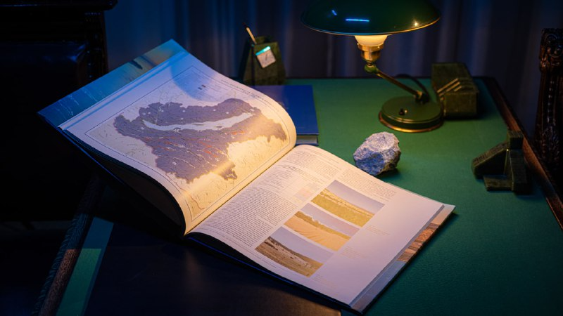
The 150-page Atlas presents the latest information on the most important components of the region's natural environment, geological and tectonic structure, modern movements of the Earth's crust, geophysical fields, hydrogeological conditions, and groundwater.
The atlas contains more than 50 maps and diagrams and many colourful illustrations.
The lake water area is characterized in detail - temperature regime and geochemical features of coastal and bottom waters, manifestations of gas hydrates, lithological composition of bottom sediments, their thickness and age.
The edition includes the ‘Map of Geological Monuments’ of the Baikal natural territory and the lake water area itself, as well as information about nature protection areas, geological monuments, tourist and ecological trails.
The ‘Geological Atlas of the Baikal Natural Territory’ is available at the Karpinsky Institute.